Bréistyn's Folly - the Sværian Age
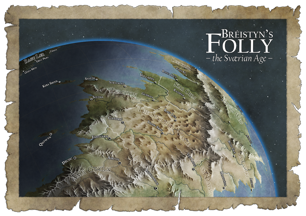
Hey all! So this was very much a practice map. It started out as an attempt to display (a portion of) a globe with mountains slowly going from top-down near the center of the globe (not necessarily the center of the map) to sideways near the edge, all the while keeping their horizontal rotation consistent. As I went along, however, it became more of an exercise in calculating cosines, both for the degree of sideways-ness and the size of the individual mountains. Then I did it all over again for the labels.
Also, while it definitely started out as a rather traditional isometric mountain style, it gradually evolved into a rather more painterly look.
While the toying around with the calculator didn't really cause me to click my heels in delight, that painterly transition actually quite grew on me.